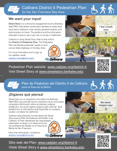
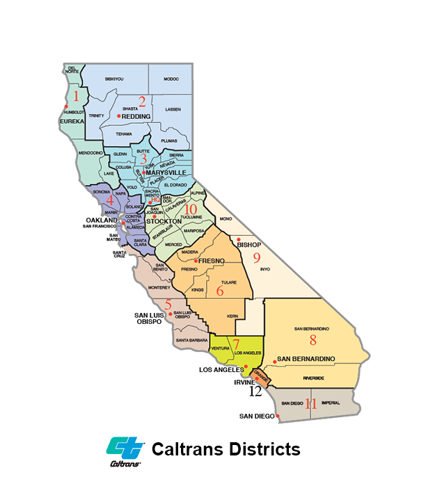
Caltrans District 4 wants your input! Caltrans District 4 is one of 12 Caltrans Districts (see map) which includes Sonoma, Napa, Marin, Solano, Contra Costa, Alameda, Oakland, San Francisco, San Mateo and Santa Clara Counties. Caltrans District 4 is using Street Story data to help inform the District Pedestrian Plan. Caltrans District 4 is developing a plan to identify and prioritize pedestrian needs on and across the State Transportation Network in the Bay Area as part of their Active Transportation Plan.
Street Story is a community engagement tool by Berkeley SafeTREC that allows community members to share their input about collisions, near-misses, general hazards, and safe locations to travel. The platform and the information collected is free to use in any city or county in California!
Caltrans is using Street Story data to help inform the District 4 Pedestrian Plan. The Pedestrian Plan will identify pedestrian needs on and across State Highways in the Bay Area.
For more information visit www.catplan.org/district-4. To sign up for updates, email: gregory.currey@dot.ca.gov.